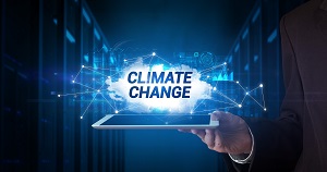
In this contributed article, Or Lenchner, CEO, Bright Data, examines how public web data collection is essential to ESG efforts in 2022. The recent International Panel on Climate Change report warned that we aren’t doing enough to avoid the dire impacts of climate change – businesses must use every tool at their disposal to support the fight against climate change, especially quality data.
Climate Change is an Existential Threat, and Businesses Need Data to Fight It
August 6, 2022 by Leave a Comment
Working Smarter: Leveraging Machine Learning to Optimize CO2 Adsorption
October 3, 2021 by Leave a Comment
In a recent study published in Environmental Science and Technology, a collaborative research team from Korea University and the National University of Singapore employed a machine learning-based approach that may guide the development of future porous carbon synthesis strategies. The scientists noted that there are three core factors influencing the CO2 adsorption properties in BWDPCs: the elemental composition of the porous solid, its textural properties, and the adsorption parameters at which it operates, such as temperature and pressure. However, how these core factors should be prioritized when developing BWDPCs has remained unclear, until now.
How Big Data Helps in the Fight Against Climate Change
August 23, 2020 by Leave a Comment
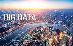
In this contributed article, technologist Bernard Brode discusses an academic paper published last month by Australian climate scientist, Steven Sherwood and a team of global colleagues, that is arguably one of the most important – and one of the most terrifying – pieces of climate change research to emerge in recent years. As such, the paper has also brought renewed focus on ways to cut carbon emissions, and some analysts believe that big data is key in this effort. In this article, we’ll explore why.
Will Advanced Earth Observation Data Come to the Rescue When Climate Change Leads to Food Shortages?
March 15, 2020 by Leave a Comment
Satellite data enables ongoing monitoring of the situation on Earth, creating models to support agriculture, and managing the risk related to climate change. More and more companies and institutions take advantage of this data, also within the framework of the state administration, where satellite images are increasingly used e.g. to analyze soil moisture and identify areas likely to yield worse crops.